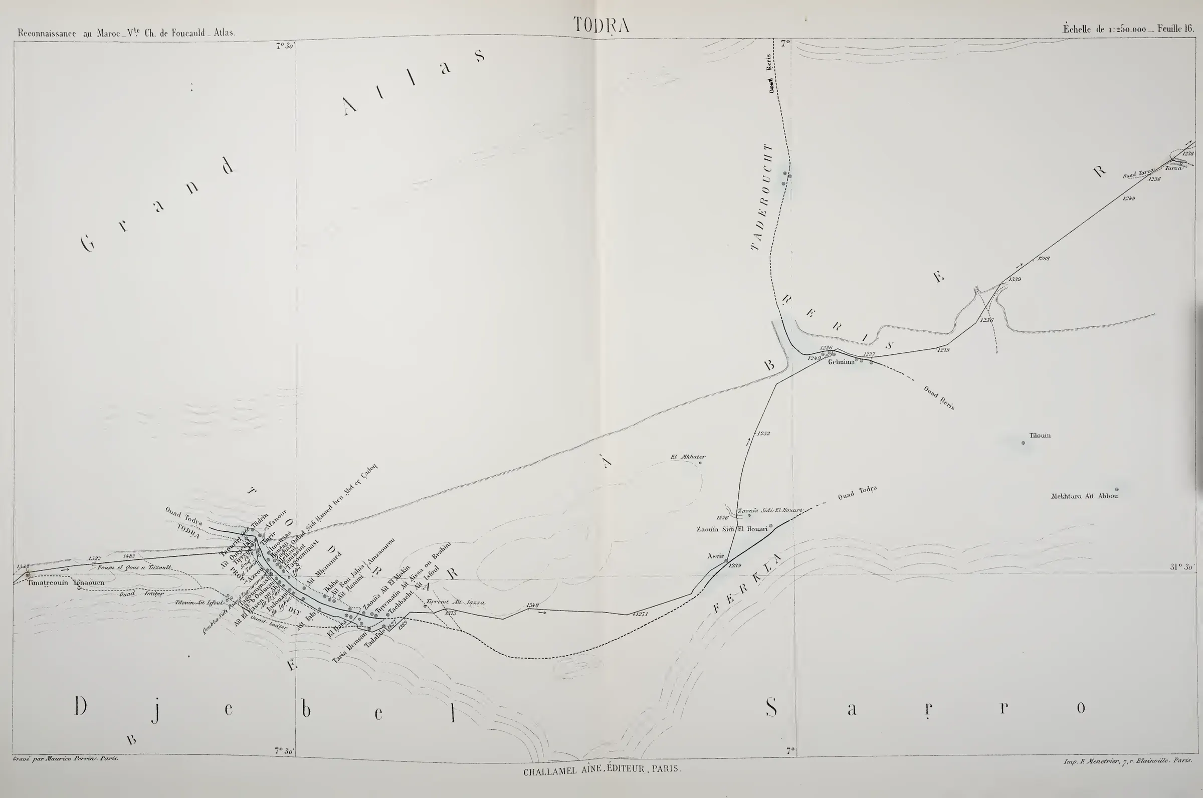
Three plates of the Saghro and its surroundings, surveyed in 1883-1884 and published in 1887-1888: the general map of routes, then sheets 15 (“Dâdes”) and 16 (“Todra”) at 1:250,000. They show what a European traveller knew of the massif half a century before Bougafer: a precisely surveyed route, and around it, a blank.
Source
Foucauld, Charles de, Reconnaissance au Maroc, 1883-1884. Ouvrage illustré de 4 photogravures et 101 dessins d'après les croquis de l'auteur — avec Atlas, Paris : Challamel et Cie, 1888.
Excerpts consulted
Transcription
Reconnaissance au Maroc _ Vte Ch. de Foucauld _ Atlas.   TODRA.   Échelle de 1:250.000 _ Feuille 16.
Grand Atlas — Todra — Ferkla — Gelmima — Asrir — Zaouia Sidi El Houari — Ouad Todra — Ouad Reris — Tarda
Djebel Sarro
Gravé par Maurice Perrin, Paris. — Challamel aîné, éditeur, Paris. — Imp. E. Ménétrier, Paris.
Partial transcription of legible titles and place names (1888 spellings kept).